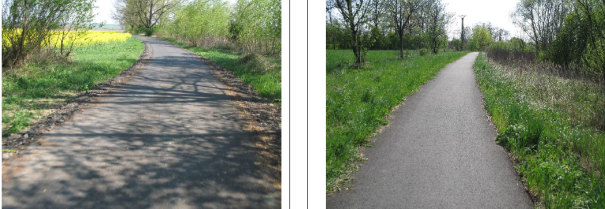


2. Týn nad Bečvou – Lipník nad Bečvou (non-urban area)
Then, there is a newly built shared path for cyclists and pedestrians which was built with a support from EU pre-structural funds in 2001 and is 1,300m long.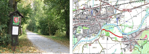
3. Lipník nad Bečvou – Osek nad Bečvou
This is a road with a ban to motor traffic, and it is 3,400m long. The road was built as a part of the 1997 flood damage elimination.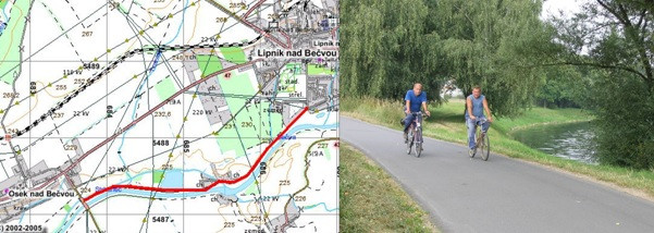
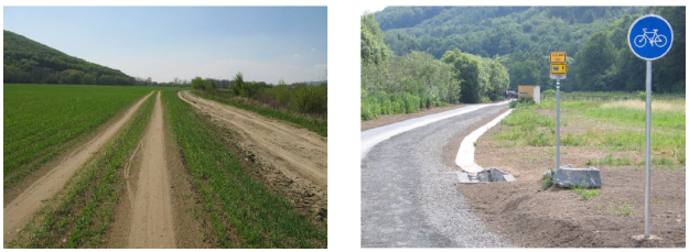
4. Osek nad Bečvou – Grymov, crossroads (non-urban area)
This is a road with a ban to motor traffic and it is 2,400m long. The road was built as a part of the land consolidation, therefore it has a sign B11.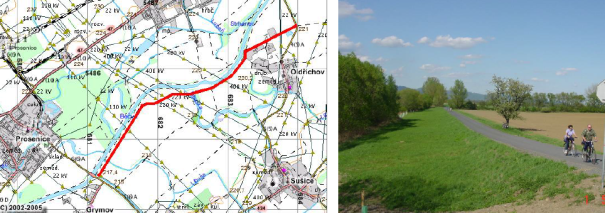
5. Grymov, a bridge – Přerov, the Palacký Bridge (approx. 7 km)